Trip to France

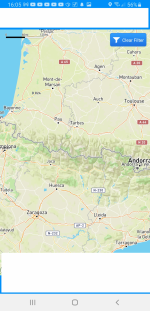
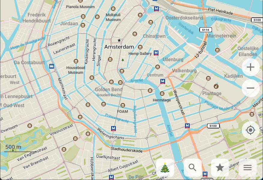
Yes, definitely off line, I can download a fairly large map from Google maps but it has no terrain detail, Win 10 does have maps but no good on the phone.

Cuillins on Win 10:-

1706370761756.png


Cuillins in Google maps:-

1706370860996.png
 
A shame they killed off MS Autoroute, I have it on CD, but I don't want a laptop on the dash.
 
We have started to use the online maps for a well known camping ap . Easy to zoom in or out if needing either detail or the bigger picture.
I'm just looking now found one that seems to have a bit of detail, I won't name it/them, logos hidden, the first one looks much better on the phone, the second seem better.

1706371422422.png
1706371777238.png


1706371863684.jpeg


Well remembered Barry, I'd forgotten that, and of course the WC app isn't bad either I'd forgotten that.
 

Attachments

  • 1706371639366.png
    1706371639366.png
    1.9 MB · Views: 11
I rely on the Michelin mapping for Europe. It is without question the best presented and most authoritative mapping.

I have the A3 sized 2018 road atlas for France that Tom mentions, plus the smaller A4 sized road atlas for Spain and Portugal. The amount of detail is amazing, and both show topographic shading very clearly.

In addition I purchase for every trip a copy of the smaller scale folded map on which I mark the route that I take day by day and my overnight stopping places. Again this shows more detail than you'd expect on a 1:1,000,000 scale map and also uses shading to indicate the topography. The map is Michelin 721 National for France. They also do the same map for Iberia (734) and other European countries.
 
Yesterday I emailed Organic Maps to see if they had a windows version in the pipeline and I got a reply overnight with this link.

I'm not awake enough yet to try it.

 
Last trip to Scotland I downloaded this app.


I just checked it out for France and it looks like it works there too & Spain magic our Maurice.

1706440534442.jpeg


1706440546607.jpeg
 
We've been touring France for donkeys years and the Michelin map I mentioned earlier has always been our go to map, it does show terrain as per the pic below.

We also keep a small Michelin 726 foldable route planning map in the glovebox, very handy for 'er, route planning...


Terrain from main map book....

IMG_20240128_113512166.jpg
 
Last edited:
Thanks Pete, I was hoping it might be the A3 size, harder to store but better to use.

I may end up getting it anyway.

I'm Wondering if a EU one might be better.
 
I always wear a wrist watch, so does my wife / my son/ my daughter / my son in law / all my friends & neighbours / in fact I don't know any one that doesn't.

A wrist watch is so much more convenient way to see the time than a mobile phone, and it is a bit of a faff having to walk from the bottom of the garden; get the Moho keys from the key cabinet; walk to moho, unlock the moho; switch the ignition on and use the dash clock.
Folk here walk round 24/7 glued to a mobile which has the time, this is why nothing gets done these days.
zombies.jpg
 
I was just looking athe MS maps app, and if you zoom right in it even gives you the house number, but at the top of the screen it has this message so it looks like it will be gone soon, deleted like Autoroute, looks like they don't want to bother.

1706459182962.png


1706459088421.png
 
I was there driving coach back in 90's the museums , landings and especially the US cemetery were truly Haunting, especially the cemetry. I always remember hearing the birds BEFORE entering, yet as soon as I stepped inside it was eerily silent nothing! The way that all the memorials are kept is also testament to those who look after, maintain and keep these places wit respect. Amazing journey, amazing places and amazing people. Enjoy it again.
 
I don't have a CD drive in the laptop so wondered if there was a flash version and found this, might just give it a go, handy for basic route planning perhaps.

Opinions welcome..


Back
Top