Is this Hereford rowing club ?

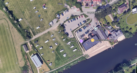
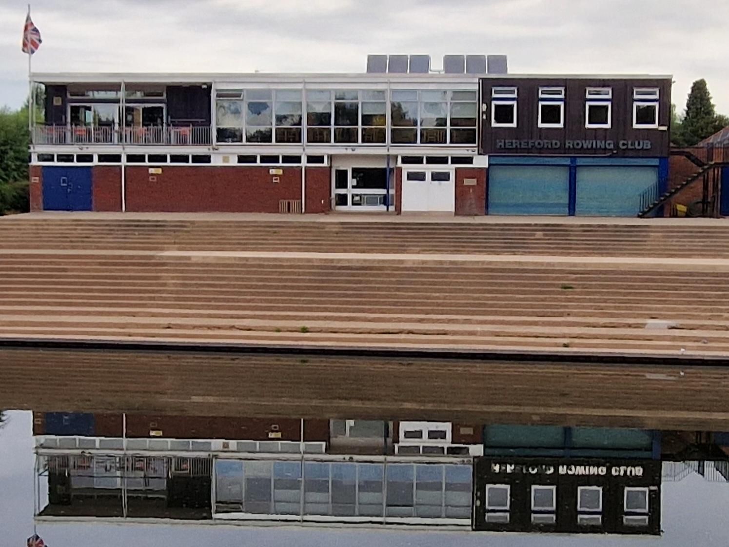
I did mean it as a bit tongue in cheek Rob. You could superimpose a lot of different sports venues into the pic. (y)

It did remind me though, when I ran my garden furniture business a few years back we had a large order for Carlisle Cricket Club. This was in 2016 and they got hit by a large flood shortly afterwards.

They sent me the following picture of one of the benches where it had been deposited by the flood water - all the rest were lost;

1733736176516.png
 
That first picture does not match the boat club campsite
I have stayed there. this is a image from google maps.
 

Attachments

  • Screenshot at 2024-12-10 16-37-55.png
    Screenshot at 2024-12-10 16-37-55.png
    1.8 MB · Views: 57
Anyone know where the measurements of flooding are taken, @Admin mentioned 5 metre flooding three times this year.
 
Anyone know where the measurements of flooding are taken, @Admin mentioned 5 metre flooding three times this year.

Three times this Winter Tim, so I assume it's been up and down three times in recent weeks.

Not sure where they measure the levels but the picture in the OP looks to be near enough 5 metres above normal level?
 
Three times this Winter Tim, so I assume it's been up and down three times in recent weeks.

Not sure where they measure the levels but the picture in the OP looks to be near enough 5 metres above normal level?
I've seen a marker near the entrance from the carpark which is almost at first floor level, If I recall that was the highest ever, just wondering where 5 metres is in relation.
 
Last edited:
I've seen a marker near the entrance from the carpark which is almost at first floor level, If I recall that was the highest ever, just wondering where 5 metres is in relation.

Is that these markers Tim?

1733873134787.png


From the CAMRA Website;

 
They're not the ones I'm thinking of Rob, although spectacular levels. If you imagine walking up the metal staircase from the car park, I think there is one on some brickwork to the left, I'm sure I've been told it was a record flood.
 
Looks like it is officially measured at the bridge Tim hitting a record level of 6.11m above normal level in 2020 so I guess the rowing club take their figures from the recording at the bridge and place a marker by the watermark on the wall.


Users who viewed this discussion (Total:0)

Back
Top